Skip to main content
Search
Search This Blog
Love of Scotland
To convey my impressions whilst wandering about Scotland. Companion site to www.loveofscotland.com.
Posts
Showing posts from June, 2022
Show All
Posted by
Robert Craig
June 28, 2022
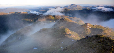
A Midsummer Munro
Posted by
Robert Craig
June 24, 2022
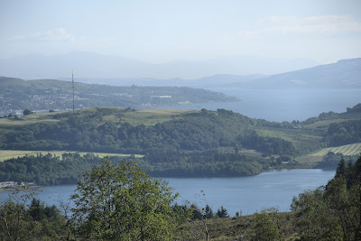
Lowland Hills and Highland Hills: the Highlands
Posted by
Robert Craig
June 22, 2022
Lowland Hills and Highland Hills: the Central Belt
Posted by
Robert Craig
June 20, 2022
Lowland Hills and Highland Hills: the Southern Uplands
Newer Posts
Older Posts
Home